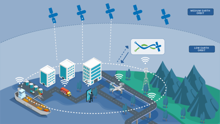
Bridging Precision and Global Connectivity for Safer Landscapes

Systems equipped with sensors that provide real-time data on soil movement, moisture levels, and other relevant factors.
Analyzing complex patterns and historical data. Integrating with machine learning & artificial intelligence.
GNSS technology for precise location tracking allows for the accurate of ground movement, critical for early landslide detection.
The use of LEO satellites for data communication ensure that monitoring systems can transmit large volume of data in real-time, event from remote or inaccessible areas.
Expanding the network of sensors to cover a larger area and include different types, such as seismic sensors, ground-penetrating radar, can enhance detection capabilities.
Designing systems that are energy efficient and have minimal environmental impact, possibly using renewable energy sources of power.

Our advanced landslide monitoring system combines precise location technology with real-time data and global connectivity. It offers accurate and timely warnings, protecting lives and property even in remote areas. Simple, effective, and reliable, it sets a new standard in disaster prevention and community safety.
Effortless implementation and user-friendly operation for hassle-free safety.

Ensures accuracy in detecting subtle ground movements, providing timely alerts to mitigate potential disasters.
Seamlessly integrated with GNSS and LEO satellites, offers worldwide coverage, connecting event the most remote areas to a robust monitoring network for enhanced safety.
Designed for ease of use, our system simplifies implementation and operation, making safety accessible and hassle-free for communities and organizations.